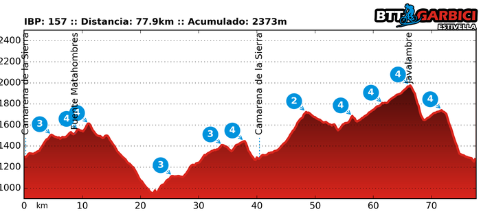
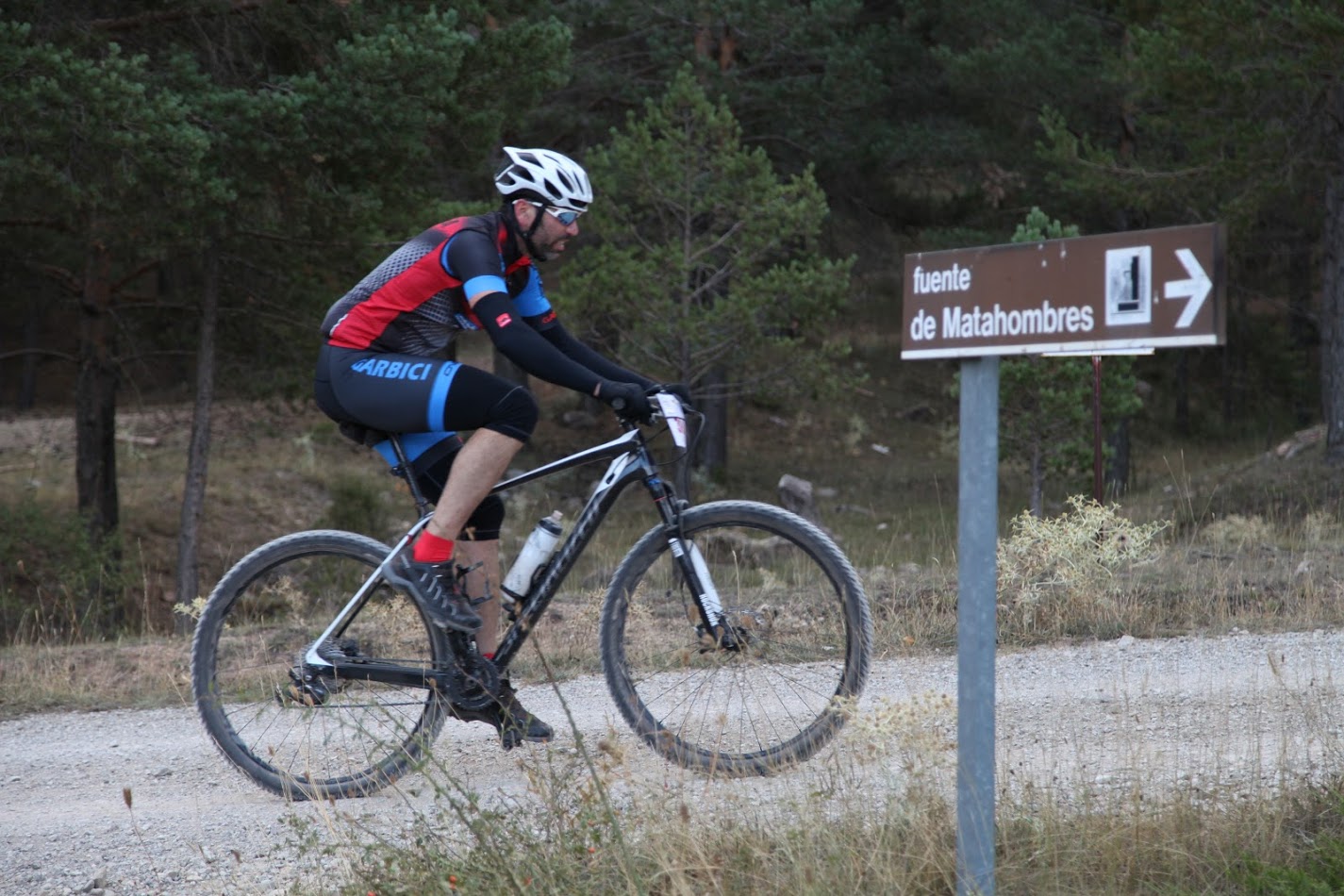
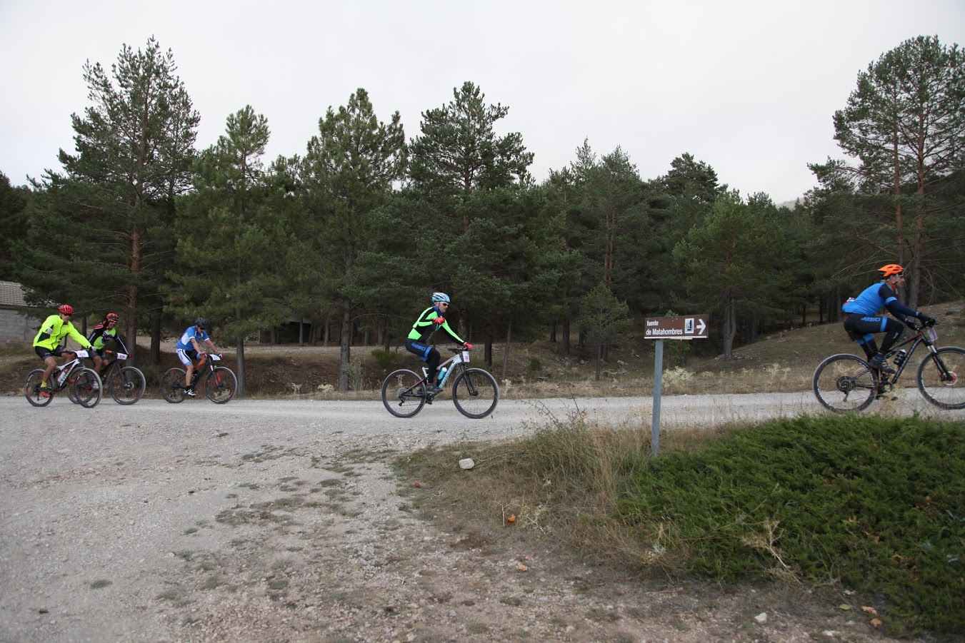
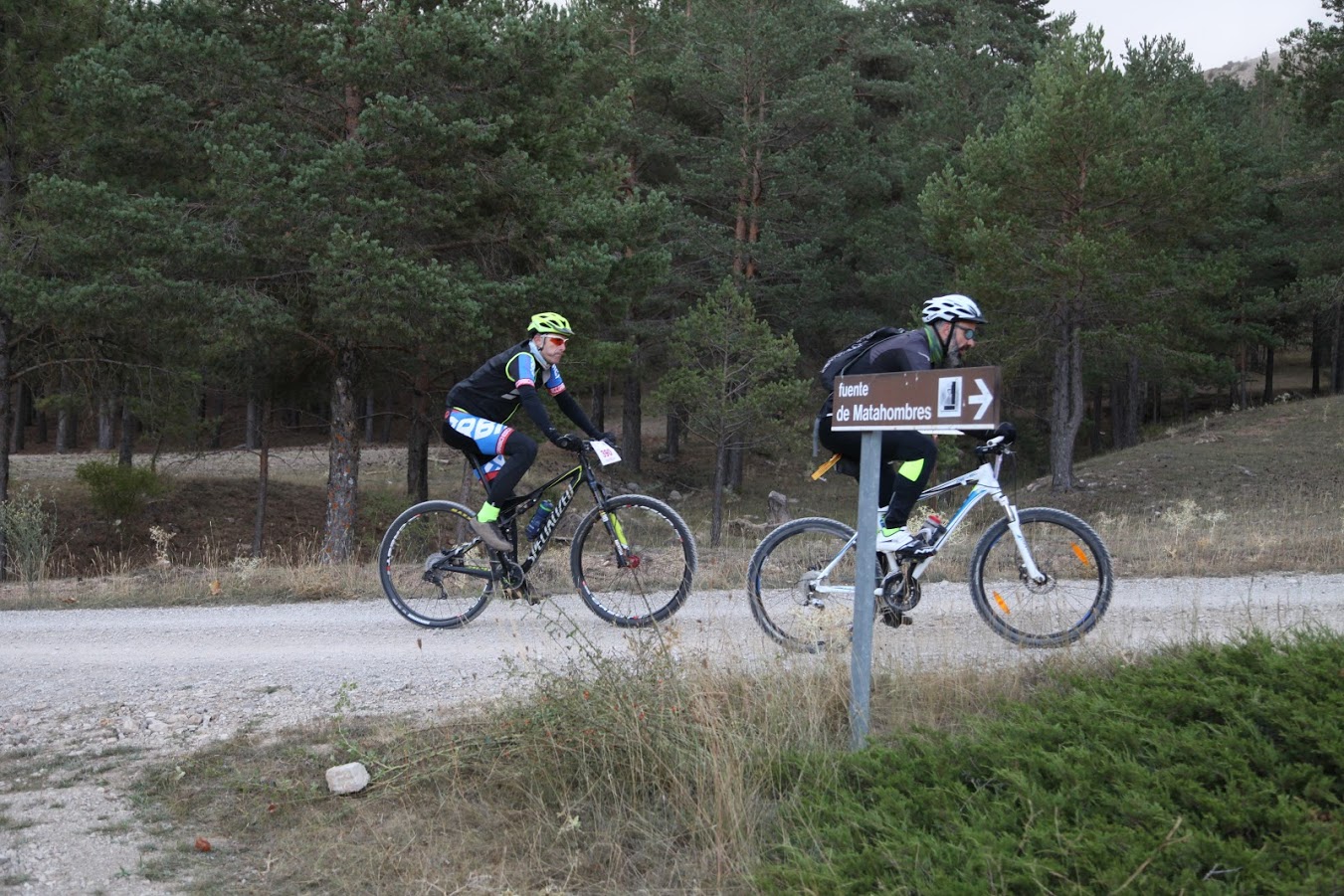
Matahombres 2017 (77 km)
- Fecha:10 de Septiembre de 2017.
- Hora: 09:00
- Distancia: 77.9 km
- IBP: 157
- Track: Descargar
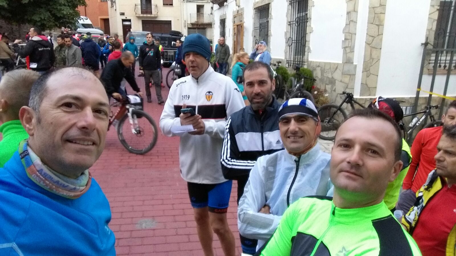
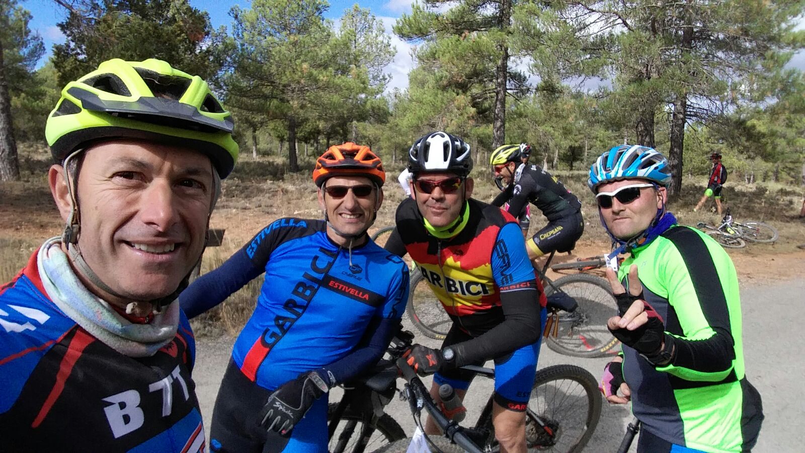
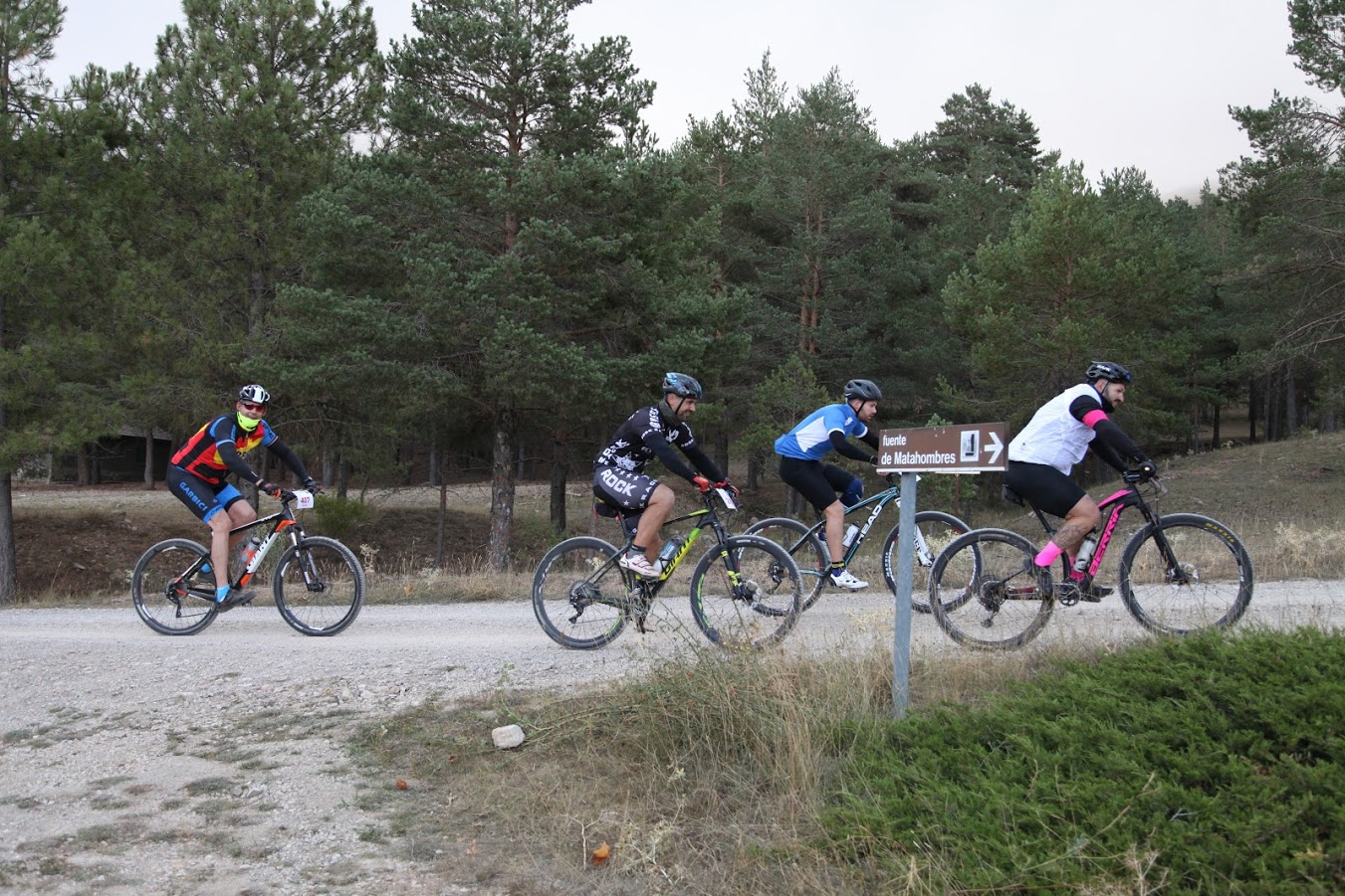
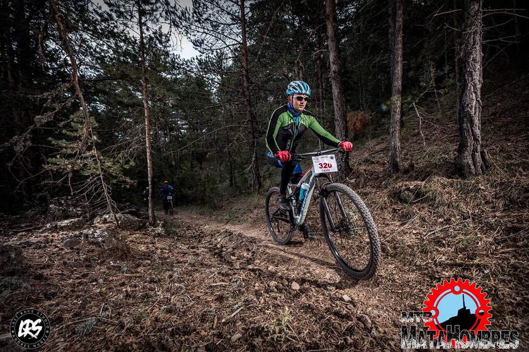
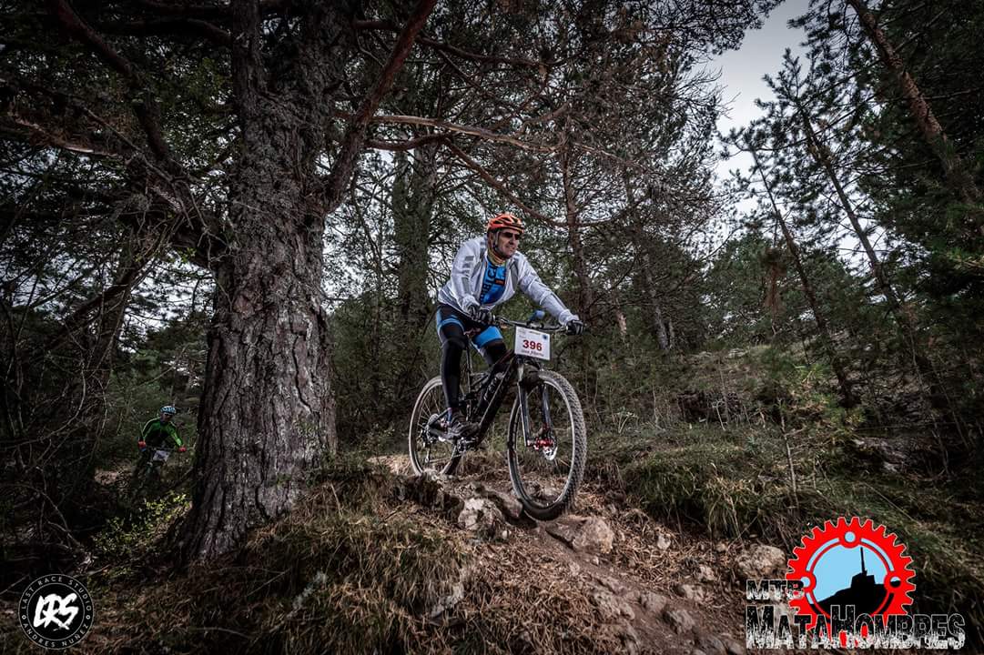
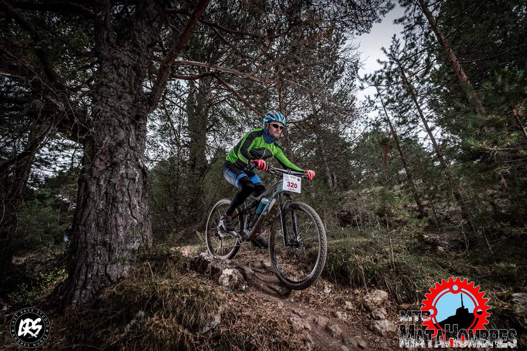
- Asistentes: Alberto, Vicent, Lozano, Catalín y Mena






Map of the route “Matahombres 2017 (77 km)”: 77.595 m, 2.102 m of climbing and 2.126 m of descent, elevation between 949 m and 1.979 m, time 06:03:20. It starts at 40.14853, -1.04075 and ends at 40.14648, -1.04328 (latitude, longitude).